Mobile devices are an indispensable fixture of daily life for most people. We manage appointments, communicate, order goods and services, and perform many of life's daily activities through a screen in our hand. We do so because it is usually faster, more efficient, and more secure than other methods. Yet, many critical data collection and site inspection tasks in the environmental and AEC industries still happen with a pen and paper. By now, many of us should be aware of the advantages of collecting data digitally, including: Standardized data recording.Time savings, both during the collection process and by eliminating data...
Read MoreTag:Geospatial Operations
Digitizing Earth: Geospatial Tools from GPS to Drones in AEC and Environmental Applications

When: Thursday, May 13th @ 11:30 a.m. – 12:30 a.m. (CDT) Where: GoToWebinar Geospatial technology is rapidly evolving. Recent advancements have seen the proliferation of platforms and systems that make implementation and usage easier than ever. In spite of this, the potential for mistakes during the selection and implementation process remains high. What is the optimal balance between speed of implementation and flexibility? Will mobile data collection integrate smoothly with other company systems? When do drones deliver the biggest efficiency gains? Join us on May 13th with our Geographic Information Systems (GIS) Manager, Jamie Maxwell, to learn about some of the recent...
Read More[OnDemand Webinar] Unmanned Aerial Systems in Construction: Applications of a New Technology
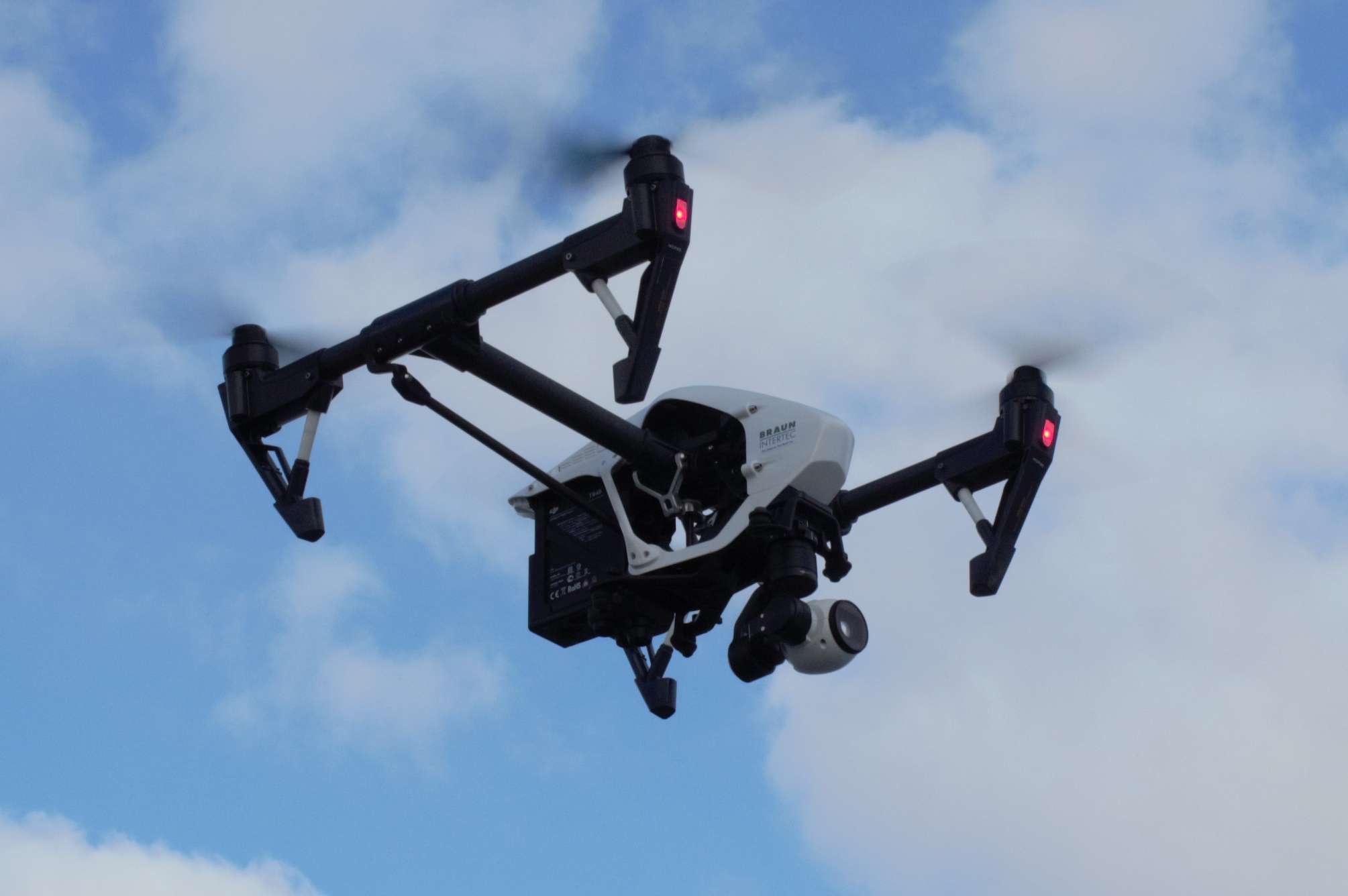
Unmanned Aerial Systems (aka “drones”) are evolving rapidly and are becoming an indispensable tool within the architecture, engineering and construction industries. Drones have the unique ability to be equipped with an array of sensors and cameras to improve data collection, reduce cost, and increase safety. But what are the implications of these new technologies and how can they add value to your next project? Find out the answer to these questions and more in our free webinar. Watch the recorded version of the webinar by completing the form below....
Read MoreUsing Drones to Improve Data Collection, Lower Costs, and Increase Safety
Unmanned Aerial Systems (UAS) describes the collective equipment, software, procedures, and personnel that are centered around the use of Unmanned Aerial Vehicles (aka “UAV” or “drones”) to collect data using a variety of onboard sensors such as high resolution cameras, LiDAR, thermal imaging infrared cameras, etc. Drones have quickly become vital data collection tools for many industries, significantly increasing safety while also improving efficiency, reducing costs, and enhancing the ability to quickly and accurately evaluate site conditions. Some of the applications for UAS technologies include: Structural Investigations: UAS provides a level of documentation that can’t typically be achieved through the...
Read More